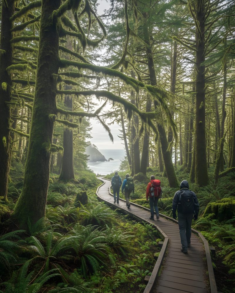
While visiting the idyllic town of Cannon Beach, there is a plethora of outdoor activities to choose from. One of the best ideas is to get out and stretch your legs on one of the numerous nearby hikes in Cannon Beach. The hikes range from easy to strenuous, and there is bound to be one that tickles your fancy.
Hiking around Cannon Beach is easily located, with the whimsical town situated between Ecola State Park and Oswald State Park to the south. Sure, you’ll probably need to pay a parking fee or entrance fee at the state parks, but your inner soul will thank you for the fresh air, the beautiful natural scenery, and the exercise.
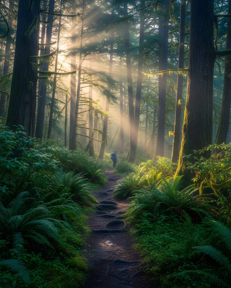
We really don’t advise wearing tennis shoes, as the trails are dotted with large roots from heavy erosion. It’s time to lace up your sturdy boots, grab your rain gear, pack a healthy snack, and start hiking one of these five best hikes in Cannon Beach.
Clatsop Loop Trail from Indian Beach
The Clatsop Loop Trail from Indian Beach, within Ecola State Park, is a popular hike for everyone, including families, that features stunning views, remnants of World War II, and plenty of greenery. The three-mile loop is an easy trek beginning from the parking lot at Indian Beach. Before you take off walking, sneak about 70 yards from the vault toilet, and you’ll get a glimpse of a small waterfall.
Now you’ll start up a gravel road where you’ll find interpretive signs and pamphlets that help describe your journey. You won’t see a gorgeous ocean vista from the gravel road once you cross Indian Creek, but your eyes will pop from the beautiful greenery of Sitka spruce, alder, and hemlock above. The floor of the forest is carpeted with sword fern, salmonberry, and salal.
You’ll continue forward on the road that crosses a small creek through a secondary forest, since most of Tillamook Head was logged some 150 years ago. The large stumps you’ll view are the remnants of the giant old-growth trees that once stood proudly in this area. You’ll drop down a bit until you arrive at the Hikers Camp, a set of log shelters.
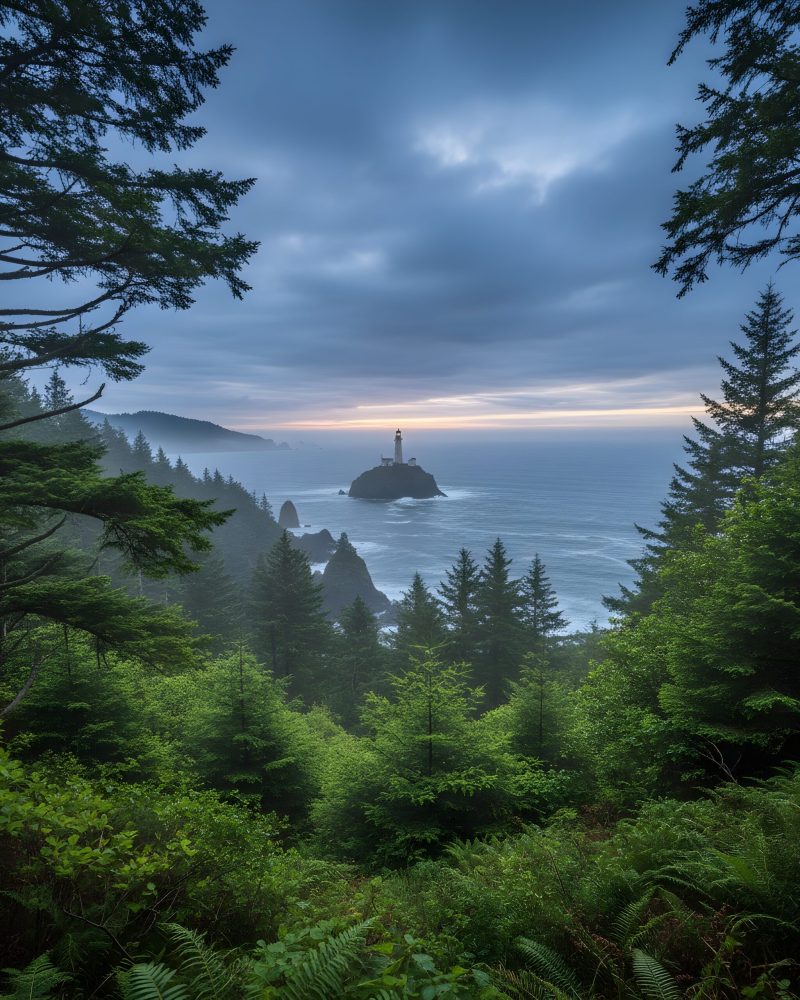
Start walking down the hill, where you’ll encounter the remains of a structure from the U.S. Army Air Corps, which used the bunker as an observation post in World War II. Once you’re past the radar station, you’ll reach the viewpoint that boasts incredible vistas of Terrible Tilly, the Tillamook Rock Lighthouse. The area you’re viewing is part of the Oregon Islands National Wildlife Refuge and is brimming with an assortment of sea life and birds.
On your way back on the loop trail that you’ll find near the Hikers Camp, you’ll travel upon a portion of the Oregon Coast Trail. You’ll notice the gravel road as you’re traveling down the trail past spruce trees, and you’ll drop down a hillside until you reach a couple of switchbacks. At these junctures, you’re afforded perfect views of Neahkahnie Mountain.
Continuing on your trek, you’ll encounter a bench that boasts tremendous vistas of Indian Beach, Sea Lion Rock, and several of the Cannon Beach sea stacks. If you’re lucky, you might even have a chance to view some migrating whales.
North Neahkahnie Mountain Trail
Conquering the North Neahkahnie Mountain Trail, within Oswald State Park, to the top of Neahkahnie Mountain is a satisfying hike in Cannon Beach. Once on top at the Neahkahnie Mountain Viewpoint, your senses come alive with views of the surreal imagery of Nehalem Bay. The moderate-rated hiking trail has plenty of switchbacks to help with the 1,450 feet of elevation gain throughout the trek. The five-mile there-and-back hike starts along a portion of the Oregon Coast Trail. You’ll follow a distinct telephone corridor cut through thick salal and surrounded by hundreds of wildflowers, including Columbia windflower, candy flowers, coast fawn lily, and trailing blackberry.
From here, you’ll enter a meadow, then continue to switchback higher up the mountain through dense spruce and hemlock forests. Your eyes perk up along this section with gorgeous views of Cape Falcon and the sheer cliffs of the Devil’s Cauldron. Once you’re near the top, you’ll enter another meadow packed with trillium and sorrel before walking down to the saddle between the north and south summits.
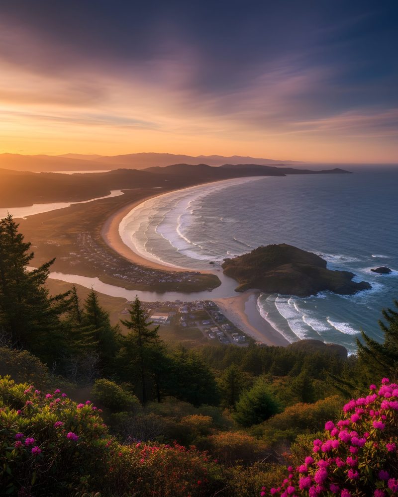
When you reach the Neahkahnie Mountain Viewpoint, you’ll be amazed at the insane views. Your eyes feast upon the surreal scenery of Manzanita, Neahkahnie Beach below, and outward to Nehalem Bay Mouth.
There’s also a loop trail to the viewpoint starting on the south side. Be prepared to walk along the busy U.S. 101 Highway for a mile during the eight-mile experience. So, we don’t think it’s a good choice.
Cape Falcon Trail
The Cape Falcon Trail, within Oswald State Park, is an excellent choice for a trek to the stunning imagery found at Cape Falcon. The five-mile there-and-back trek is considered an easy hike, but the trail can get slippery, and there’s plenty of large roots to navigate.
Once you’ve started from the Cape Falcon Trailhead, you’ll travel through a forested ridge located above Short Sand Creek. The forest of Hemlock and Sitka spruce is majestic and dances to the slight breezes coming off the coastline. As you continue, the noise of the highway slowly fades away into a tranquil sound of birds bristling branches.
After a half mile, you’ll steer right onto a section of the Oregon Coast Trail, which is ripe with skunk cabbage as you cross over Kerwin Creek. You’ll start to gain a bit of elevation as you hike through an old-growth spruce area laced with salal. Here, your ears start to hear the subtle waves from the nearby ocean, and you’ll notice a mass of rock deposits that fell from a cliff. You’ll start to drop a bit to Blumenthal Creek. Once at the creek, do not attempt to go any closer to the Blumenthal Falls, as the trail is super dangerous. Don’t worry, because the waterfall runs dry in the summer months, so you’re not missing anything.
You’ll encounter a couple of switchbacks offering views of Short Sand Beach and Neahkahnie Mountain before reaching a clearing full of salal with vines of wild cucumbers. Dropping down into a saddle, your eyes are delighted with spectacular views of Neahkahnie Mountain to the south and Nehalem Spit.
Continuing onward, you’ll find a sharply cut outcrop of rock that forms Cape Falcon’s southern bluff. To the north is Tillamook Head and a superb ocean view with a rock spiraling into the air with waves crashing upon it.
Ecola Point to Crescent Beach Trail
The hike to Crescent Beach’s mile-long stretch of sand from Ecola Point is steep, stunning, and pleasurable. The surreal beach is nestled between Ecola Point and Chapman Point, offering plenty of eye candy to please your senses. You’ll find the trailhead at the main parking lot in Ecola State Park, but you shouldn’t worry about crowds. Not many people take the three-mile there-and-back hike to Crescent Beach.
Before heading out on the trail, take some time to explore Ecola Point. Here you’ll be fascinated by the views of Cape Falcon and Haystack Rock to the south. Gazing northwards, your eyes will feast upon Tillamook Rock Lighthouse and Tillamook Head. The view improves with photograph opportunities of Sea Lion Rocks, which feature a natural arch.
Once on the trail, you’ll stroll through Sitka spruce and a variety of local fauna, including red elderberry and sword fern. Keep your eyes on alert for deer and elk while walking. Once you navigate a few downward switchbacks, you’ll be standing on Crescent Beach.
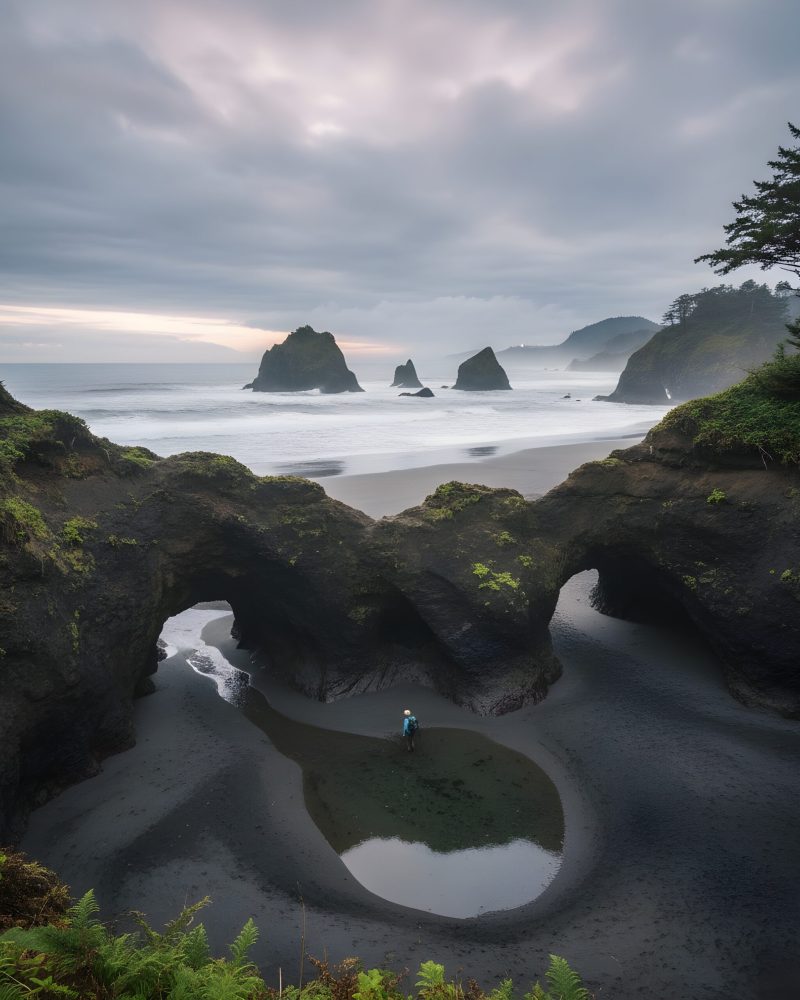
While on the beach at Ecola Point, you’re able to explore caves and a couple of intricate tunnels carved out by the ocean, and get an up-close view of Sea Lion Rocks. Heading south during low tide, you’ll encounter tide pools before reaching Chapman Point. Here, your eyes will gaze upon Thimble Rock and the Birds Rocks while keeping a watch for sea lions and seals gleefully playing in the Pacific Ocean.
Tillamook Head Trail
When you trek the Tillamook Head Trail at Ecola State Park, you’ll be traveling part of the route that Lewis and Clark hiked in 1806 on their Corps of Discovery mission. The moderate-to-difficult 12-mile there-and-back route is challenging with an elevation gain of 1,000 feet, but you’re rewarded with views of old-growth forests of Sitka spruce and hemlock. You can pay the entrance fee to Ecola State Park and start from Indian Beach or just south of Seaside outside the park. There’s also an option to set up a vehicle at both starting locations for a six-mile trek.
From the Tillamook Head Trail south of Seaside, you’ll begin by crossing a small creek and up your first switchback. Entering Ecola State Park, you’re notified that Ecola Point is seven miles and Hikers Camp is four miles. Here, your senses are treated to an abundance of greenery, including Sitka spruce, alder, and hemlock. A variety of lush fauna floats upon the forest floor, from salal to deer fern to sword fern.
Continuing, you’ll encounter 15 switchbacks before leveling off, where you’ll have opportunities to view Clark’s Mountain. You might see some wildlife, including deer and elk, in this area, so be aware. Traveling onward up another switchback, you’ll reach a mossy forest with a boardwalk, which takes you near Clark’s Viewpoint. After passing through a secondary forest of spruce and hemlock, you’ll move past a cliff area and view a huge ten-foot stump rotting in waste.
From here, you’ll descend eight switchbacks until you reach Hikers Camp, where you’ll find toilets and a picnic shelter along with remnants of a radar station used by the U.S. Army Air Corps during World War II. Your eyes will enjoy the beautiful vista of Tillamook Rock Lighthouse, known as Terrible Tilly, from the viewpoint overlooking the coastline.
From the Hikers Camp, you’ll start to descend into an area of larger Sitka spruce until you arrive at a grassy hillside. You’ll descend two switchbacks until your eyes get a glimpse of Neahkahnie Mountain before dropping down two additional switchbacks to reach a clifftop viewpoint of the Pacific Ocean. Continuing downward, you’ll arrive at a peaceful bench offering viewpoints of Indian Beach and Indian Point.
If you set your transportation up with two vehicles, you’ll continue forward to the parking lot at Indian Beach Trailhead. If not, then you’ll return to your original starting position.
Remember to bring appropriate boots for your hike, and always think about the weather before setting off on your journey. Safety is always a concern when hiking along the shoreline, so before you set out on one of the following five best hikes in Cannon Beach, check the tide table here.
About the Author
Daniel James Shosky is an avid traveler who enjoys discovering hidden historical and beach locations throughout North America, Latin America, and the Caribbean. During his travels, he has visited over 39 states in the USA, 28 states within Mexico, and six Caribbean islands. Through his travels, he has learned the intricacies of many different cultures, which he brings to light in his freelance writing. Daniel holds a Master’s Degree in History from the University of Colorado.

